Aerial Mapping For Water Diversion Project
We received a recent request from a homeowners association in Grand Lake Colorado to provide high resolution aerial mapping of the Tonahutu River for a water diversion project. Detailed photographs and mapping of the water features were required for planning and could not be accessed effectively by peripheral or satellite images.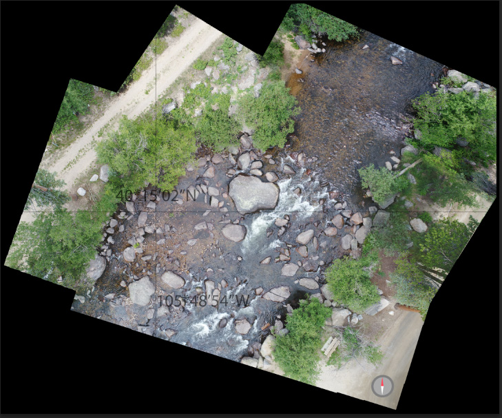
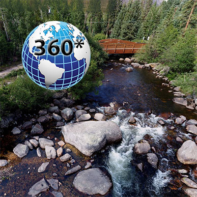
Unique Perspective
Our Agency also captures high resolution panoramic images for projects such as this. The the river project these interactive images provide a unique ability to manipulate the viewing angle and photo perspective to plan entry points and placement of elements.